 |
 |
 |
 |
 |
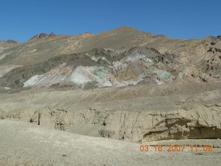 |
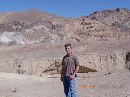
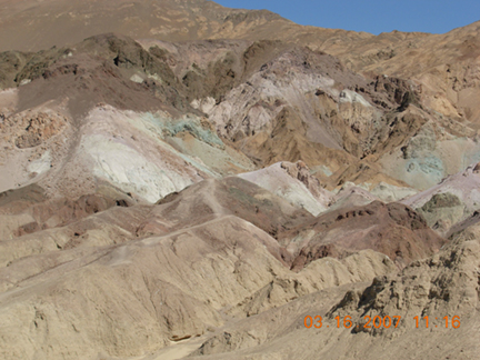
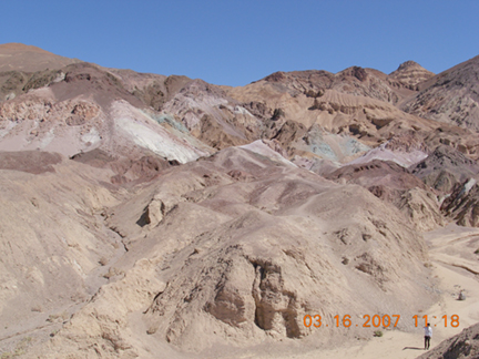
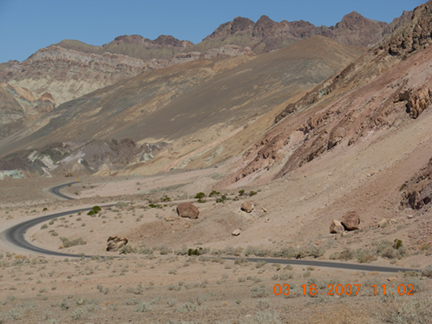
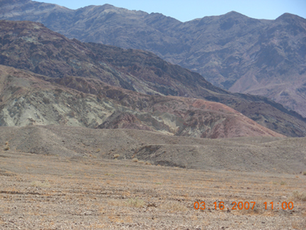
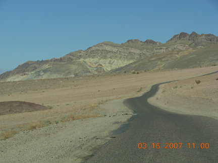
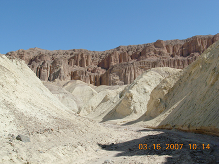
| The white it the middle is Badwater, 282 ft below sea level, making it the lowest spot in the continental US. | This is Artists Palette which is along Artists Drive off of Badwater Road (Route 190) in Death Valley. All kinds of rock deposits, ores etc., results in many different hues. Hence, an artist's pallette. Questions about Death Valley? Try their FAQ page. FYI...The native Indians of Death Valley are the Timbisha Shonone. FYI...The lowest place in the world is The Dead Sea at 1371 ft below sea level. |
||||
 |
 |
 |
 |
 |
 |
 |
 |
 |
 |
 |
 |
 |
 |
 |
 |
 |
 |
 |
 |
 |
 |
 |
 |
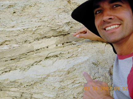 |
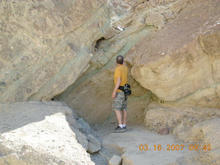
Steve is pointing out the salt formations between the cracks in the rocks. To the right is a larger picture of the salt formations. |  |
 |
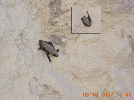
Above is a myotis (bat) that was chasing us in Golden Canyon. Not sure if it is a california, small-footed or fringed myotis. | 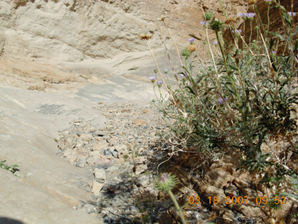 |
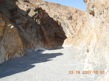
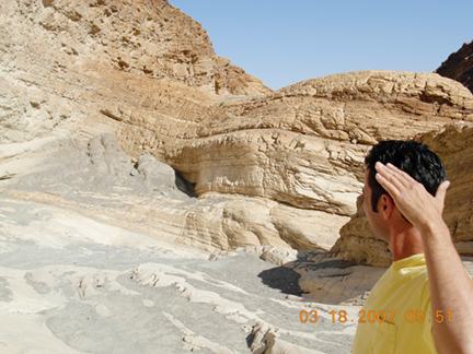
| Mosaic Canyon is at StovePipe Wells. The walls of the canyon are made of huge walls of white marble and other materials. | 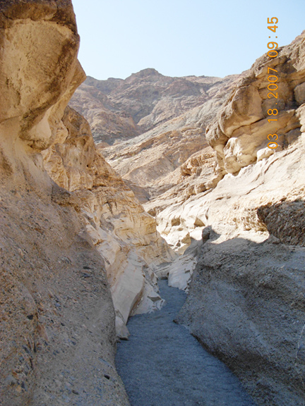 |
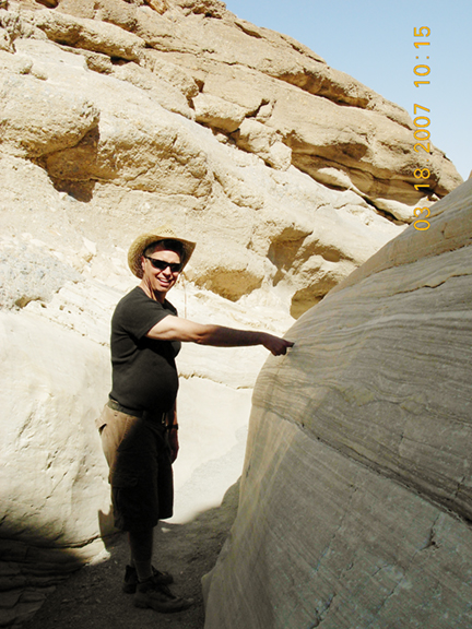 |
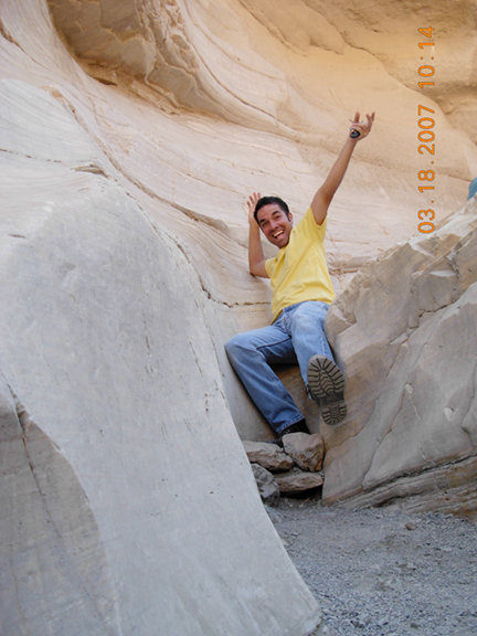
 Greg, getting a feel of the white marble. Didn't the sign say, "Do Not Touch?" |
 Watch out for that slippery marble. Actually it's not slippery as long as you're not wearing heels. |
 |
 |
 |
 |
 |
 |
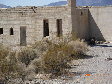 |
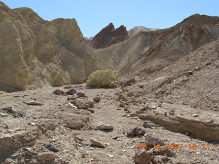
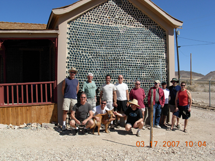
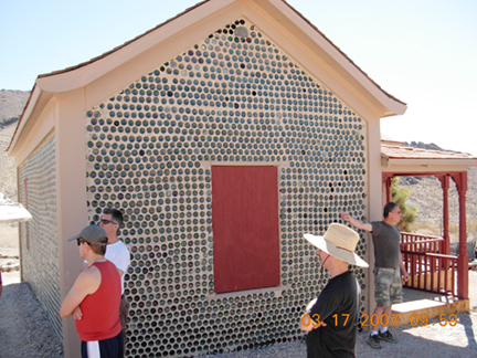
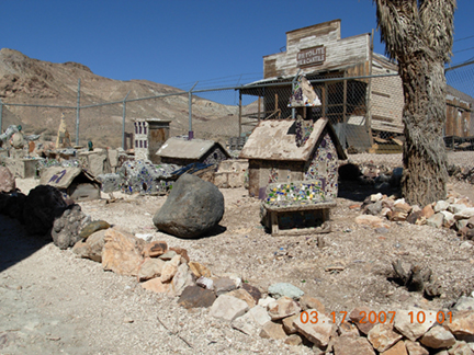
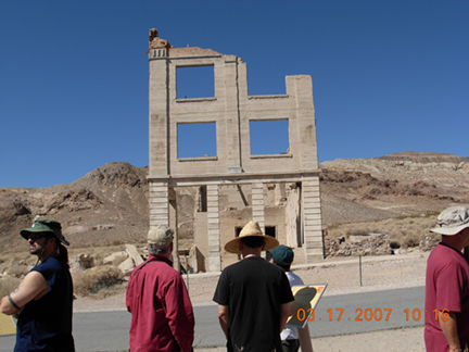
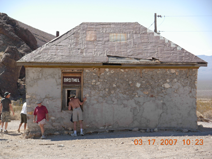
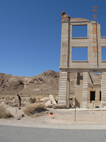
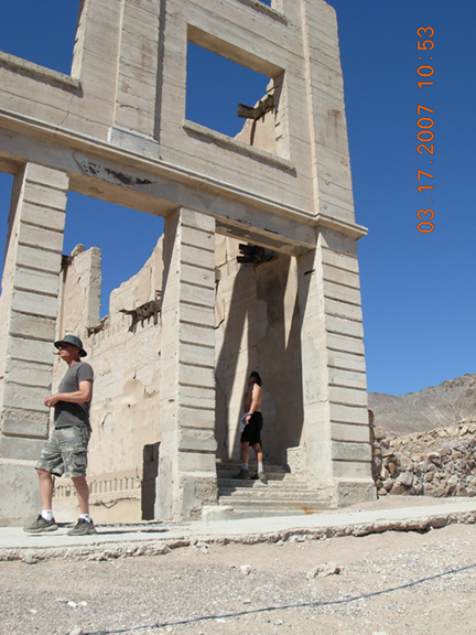
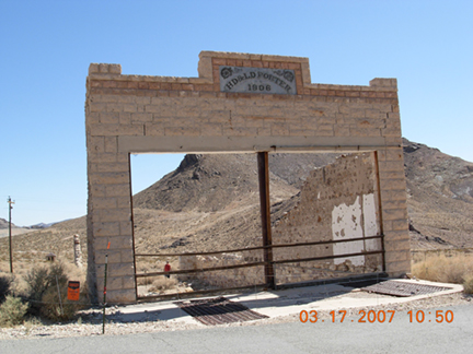
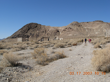
| Rhyolite Ghosttown is located off of Route 134 (Daylight Pass Road), on the way to Beatty, NV. It's in the Amargosa Desert at the east side foothills of the Amargosa Range. Route 134 is also where you'll find the beginning of Titus Canyon Road. |
 |
 |
 |
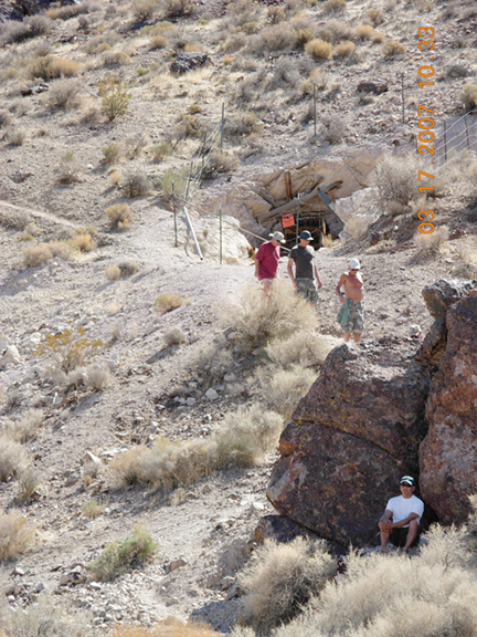 |
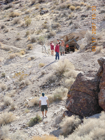
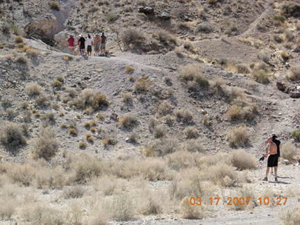 With little shade, Jim took it where he could find it...along with the rattlesnakes and scorpions. |
 |
 |
 |
 |
 |
 |
 |
 |
 |
 |
 |
 |
 |
 |
 |
 |
 |
 |
 |
 |
 |
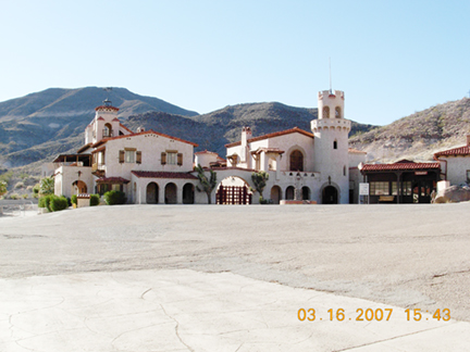 |
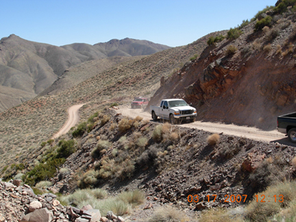
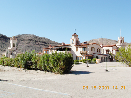
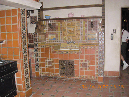
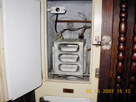
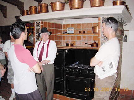
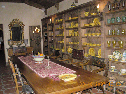
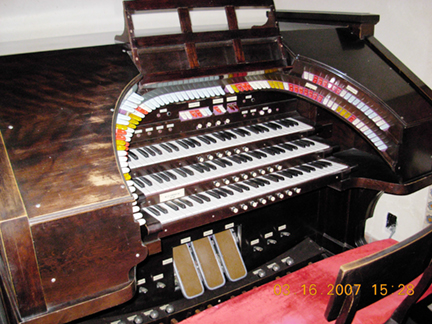
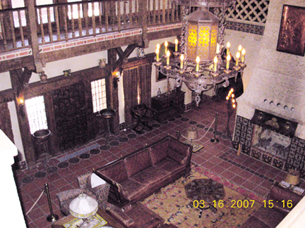
Scotty's Castle is located on Grapevine Canyon (Route 267) near Grapevine. To the right is Twenty Mule Team Canyon. |
 |
 |
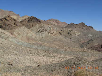
Ubehebe Crater was formed by a huge volcanic eruption over 2000 thousand years ago. | 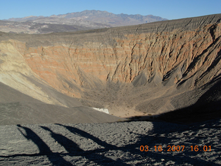 |
 |
 |
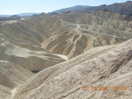 |
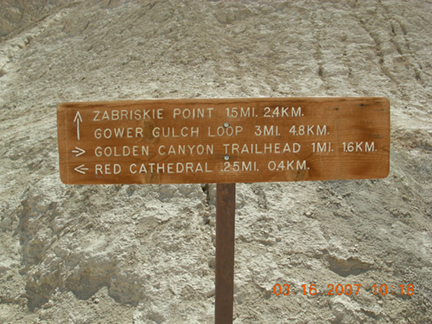
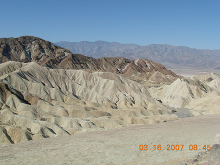
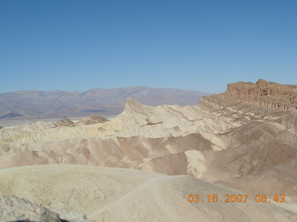
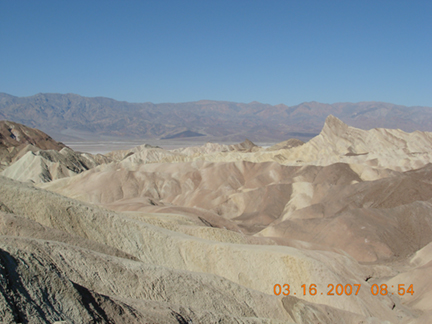 Many views of Zabriskie Point |
 |
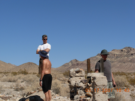
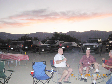
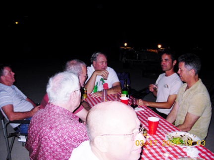
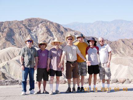
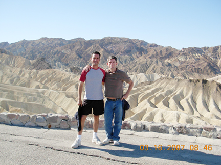 Steve and Ron Your Great Outdoors LA membership coordinators. |
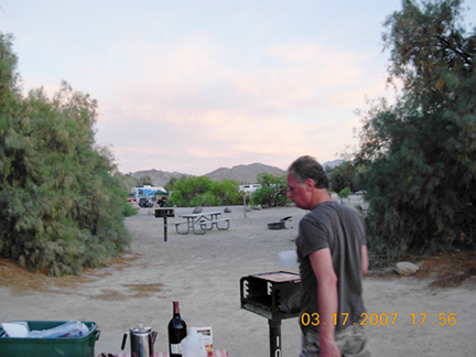
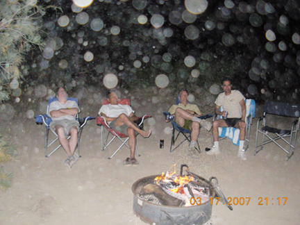
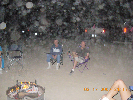
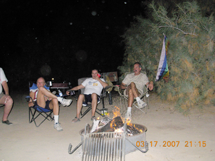
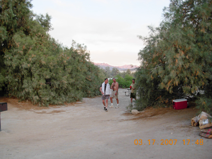
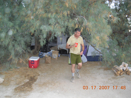
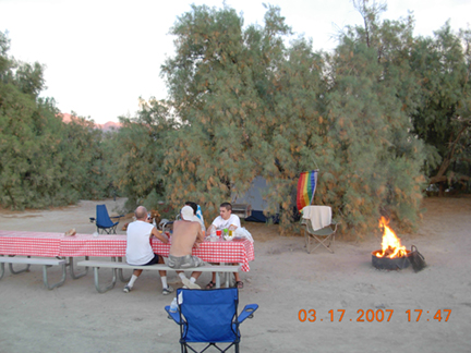
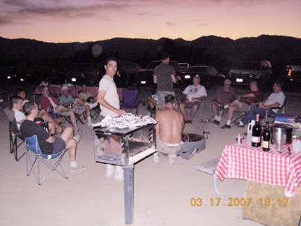
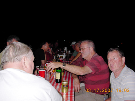
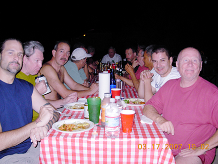
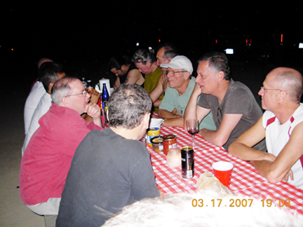
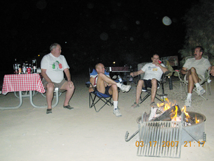
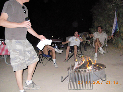 Relaxing after filling our bellies on St. Patricks Day at Furnace Creek. |
 |
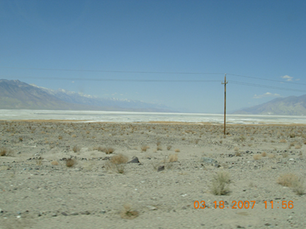 Owens Lake in Owens Valley at the east foothills of the Sierra Nevada Range. |